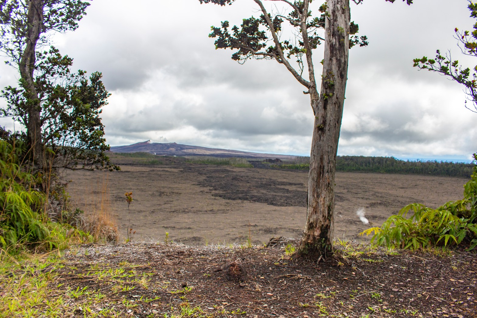
End of the Nāpau Trail overlooking Nāpau Crater and Pu’u `Ō`ō Crater in the background.
TL;DR
Trail(s) Traveled: Nāpau Trail
Date Completed: December 2019
Locations & Nights Camping: None
Total Distance Traveled: 14 miles RT (per HVNP) vs. 12.2 miles RT via viewranger
PROS: Only saw <5 people on the trail in the middle of the day on a weekend; diverse hike through lava fields and old forest; saw Mauna Ulu up close as well as Makaopuhi and Nāpau crater; and scoped out the Nāpau campsite.
CONS: Lots of exposure to the elements through Makaopuhi Crater, poorly maintained trail after Makaopuhi Crater, nothing special at the campsite.
Would I do it again?: Not likely. Checked it off the bucket list!
The Idea
Do a day hike at the NP, scope out the camp site at Nāpau, and check out a new trail.
The Hike

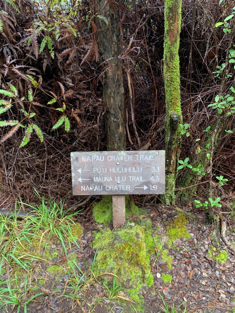
Cutout from the NP Backcountry Planner
Park at the Mauna Ulu parking lot. Instead of hiking toward the end of the road (unless you want to see the viewpoint there), veer left toward the sign which details the trail system in this area of the NP (similar to what is above.) There is NO cell reception in this part of the park, so plan appropriately. Meander in/out of old `ōhi`a lehua forest until you have the option of going left to Pu`u Huluhulu (which I did not do) or right along the Nāpau Trail. Follow the cairns around the flank of Mauna Ulu until you eventually circle around to the opposite side of the Mauna Ulu proper where there is a small crater and associated steam vents.
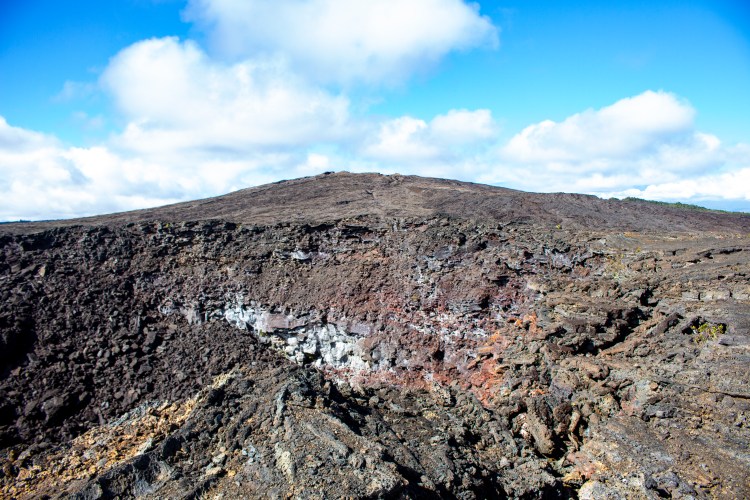
Back side view of Mauna Ulu from the small crater.
Continue following the cairns until you eventually reach the following two view-planes of Makaopuhi Crater.

View as you approach Makaopuhi Crater.
Overview of Makaophi Crater from the Mauna Ulu side of the crater.
You could stop here, but that wasn’t the plan. Continue following the cairns into the forest; where the trail dramatically changes from lava fields to forest, as pictured below.
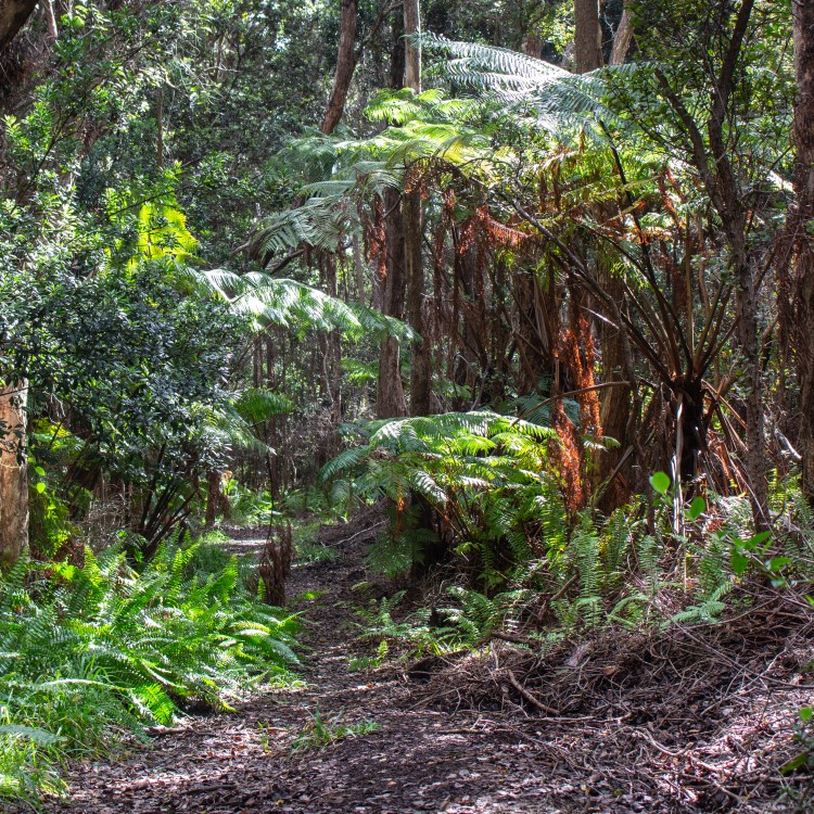
Nāpau Trail as it transitions into the forest. At this point the trail becomes very poorly maintained. Continue following the trail until on your left opens up an even better view of Makaopuhi Crater, as pictured below.

Makaopuhi crater view from within the forest portion of the Nāpau Trail.
Continue along until you meet the trail intersection with the Nāulu Trail (3.2 miles from Chain of Craters Road vs. 5 miles miles on the current Nāpau Trail Trail to this point.) As you can see, the mileage on the sign varies from the NP website. . .

Two signs at the intersection of Nāpau and Nāulu Trails.
Continue following the Nāpau Trail at which point it becomes ever less well maintained and has lots of muddy area, pig damage, and fallen tree ferns.
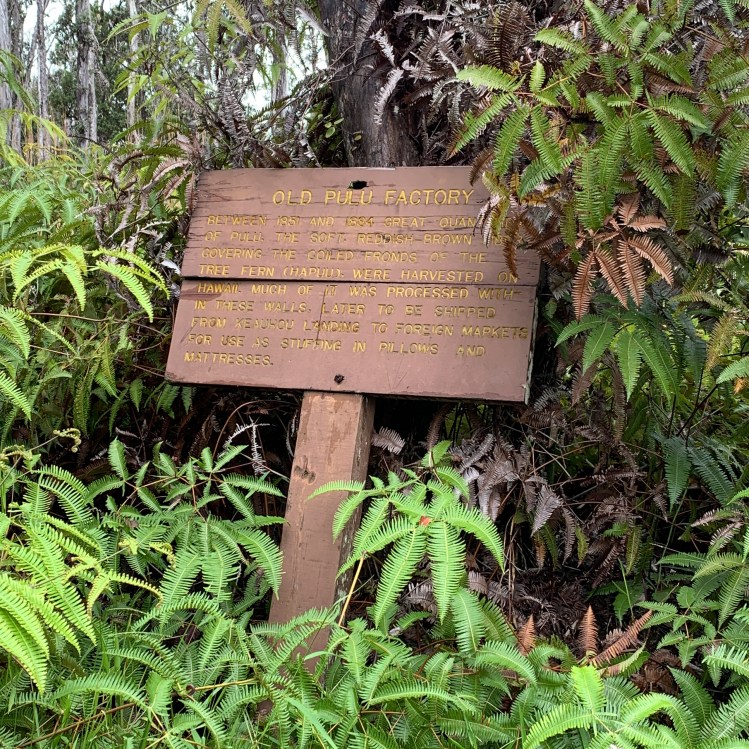
Eventually you get the the old Pulu Factory with the below sign and photos of the amazingly intact foundations from the 1800s.

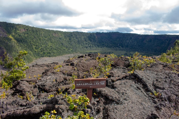
Continue along the trail as it goes in and out of lava fields and forest. Eventually you get to a small sign (not pictured) which points left toward the Nāpau Campsite and right toward the Nāpau Crater. I initially went right toward the Nāpau Crater and you emerge from the forest at the below view of the crater, the end of the trail.

Nāpau Crater at the end of the Nāpau Trail.
Total time for me to get to the crater was a little over 2 hours and 6.1 miles per viewranger. I then backtracked to check out the Nāpau Campsite. It is not very far from the fork in the trail and the trail runs directly through the below two campsites before ending at an outhouse (not pictured).
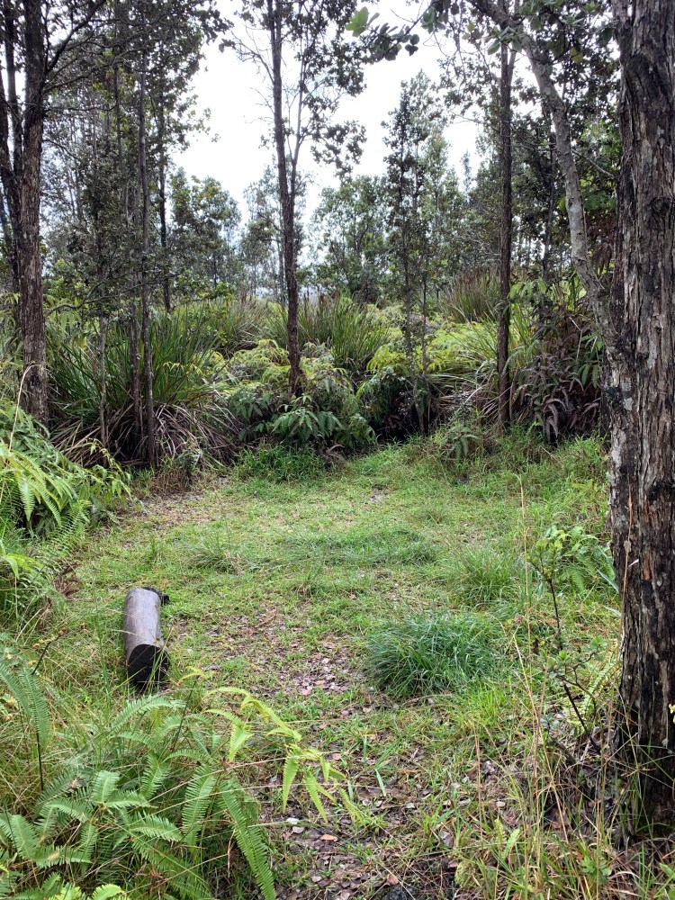
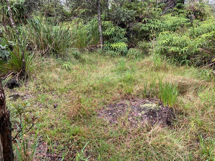
Nāpau Campsites.
*Attempted to use proper okinas and kahakos but the formatting changes with them, so alas, the punctuation is incorrect on most words in the article.
